Fitxategi:Map of the Western Cape with Cape Town highlighted (2016).svg
Nabigaziora joan
Bilaketara joan


SVG fitxategi honen PNG aurreikuspenaren tamaina: 753 × 600 pixel. Bestelako bereizmenak: 302 × 240 pixel | 603 × 480 pixel | 965 × 768 pixel | 1.280 × 1.019 pixel | 2.560 × 2.038 pixel | 849 × 676 pixel.
Jatorrizko fitxategia (SVG fitxategia, nominaldi 849 × 676 pixel, fitxategiaren tamaina: 478 KB)
.svg)
Laburpena
| Deskribapena |
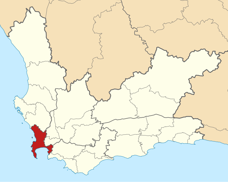
English: Map of municipal boundaries in the Western Cape, as they are after the municipal elections of 3 August 2016, with the City of Cape Town Metropolitan Municipality highlighted in red. Based on File:Map of the Western Cape with municipalities blank (2016).svg. |
| Data | |
| Jatorria | Norberak egina |
| Egilea | Htonl |
.svg)
Lizentzia
Nik, lan honen egileak, argitaratzen dut ondorengo lizentzia hauen pean:

|
Baimena duzu dokumentu hau kopiatu, banatu edo/eta aldatzeko GNU Free Documentation License baldintzapean, Free Software Foundationek argitaratutako 1.2 edo ondorengo bertsioan; sekzio aldaezinik gabe, azaleko testurik gabe, eta atzeko azaleko testurik gabe. Lizentziaren kopia dago GNU Free Documentation License izenburudun atalean. |
This file is licensed under the Creative Commons Attribution-Share Alike 4.0 International, 3.0 Unported, 2.5 Generic, 2.0 Generic and 1.0 Generic license.
- Askea zara:
- partekatzeko – lana kopiatzeko, banatzeko eta bidaltzeko
- birnahasteko – lana moldatzeko
- Ondorengo baldintzen pean:
- eskuduntza – Egiletza behar bezala aitortu behar duzu, lizentzia ikusteko esteka gehitu, eta ea aldaketak egin diren aipatu. Era egokian egin behar duzu hori guztia, baina inola ere ez egileak zure lana edo zure erabilera babesten duela irudikatuz.
- berdin partekatu – Lan honetan oinarrituta edo aldatuta berria eraikitzen baduzu, emaitza lana hau bezalako lizentzia batekin argitaratu behar duzu.
Nahiago duzun lizentzia erabil dezakezu.
Fitxategiaren historia
Data/orduan klik egin fitxategiak orduan zuen itxura ikusteko.
| Data/Ordua | Iruditxoa | Neurriak | Erabiltzailea | Iruzkina | |
|---|---|---|---|---|---|
| oraingoa | 17:44, 11 iraila 2016 | | 849 × 676 (478 KB) | wikimediacommons>Htonl | == {{int:filedesc}} == {{Information |Description ={{en|1=Map of municipal boundaries in the w:Western Cape, as they are after the municipal elections of 3 August 2016, with the [[w:City of Cape Town... |
Fitxategiaren erabilera
Fitxategi hau darabil ondorengo orri honek:
.svg)